
Mapping Tool


Mapping Tool
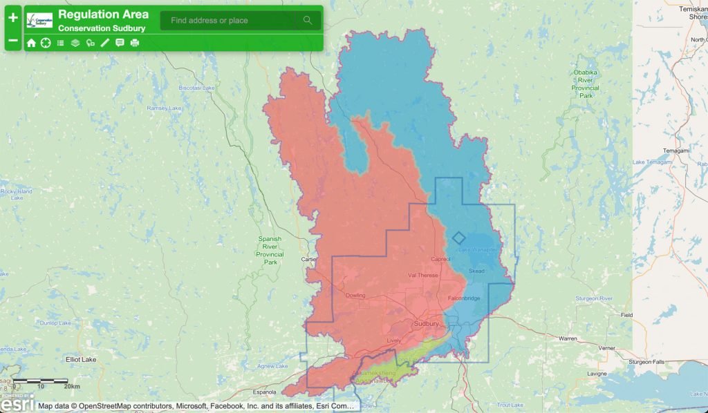
Conservation Sudbury has developed a web-based mapping tool to assist property owners, the public and other authorities in determining whether a project is proposed within or near a Regulated Area. This tool may be used to for screening to approximate the location of a potential development site. In accordance with the Conservation Authorities Act and Ontario Regulation 41/24, the regulation mapping displays the extents of Regulated Areas in the Vermilion, Wanapitei and Whitefish River watersheds that fall within the jurisdiction of Conservation Sudbury.
Where development is proposed in a Regulated Area, a permit from Conservation Sudbury under Section 28.1 of the Conservation Authorities Act is required prior to proceeding with development activity.
If you are experiencing issues using the mapping tool please review your browser information, the content is best displayed using the Chrome web browser. If problems persist or you require additional support, please contact ndca@conservationsudbury.ca for support.
Regulation
The information is based on the most up-to-date information available at the time the mapping was prepared. The regulation limits are governed by the Conservation Authorities Act and Ontario Regulation 41/24, thereby resolving any discrepancies in the mapping that may occur. Periodic maintenance of the mapping ensures its consistency and usefulness. The regulation limit shape file may be updated from time to time as new data may be acquired.
Please note that in the case of discrepancies between the mapping and the actual features on your property, the text of the Conservation Authorities Act and Ontario Regulation 41/24 prevails, and furthermore the jurisdiction of Conservation Sudbury may extend beyond the areas shown on maps. Before undertaking any of the activities referred to in the Regulation in or near the areas shown on maps, please seek professional advice and/or contact Conservation Sudbury to determine the actual boundaries of the restricted areas. To assist in the interpretation of Ontario Regulation 41/24 please refer to the Determination of Regulation Limits Reference Manual.
Furthermore, please note that a property and/or proposal may be subject to other regulations under various other statutes, such as municipal bylaws.